DMCA Protected

DMCA.com ALL contents herein have full copyright protection - word, image, sound. That means NO ONE is to copy, quote, take, download anything here without my permission. Since so far no one has asked for my permission that means if you see a photo elsewhere, like on a website, it's been stolen.

Blogs

Sunday, July 27, 2014

Today's flowers in the garden.

Today's flowers in my garden.  Some past prime, like the white daisies, which were abundant this year. But now they are brown pods of stalks mostly.
Some of the flowers are at prime, like the cone flowers, which are bigger this year, purple ones and white ones.
Some in between prime and past prime, like the peach hued lilies and the small purple puffs of alum and the brilliant red of the bee balm.
 Some barely beginning to come into prime like the Rose of Sharon bush.
 See if you can find the black and white striped butterfly in the middle of one of the photos. Hint, in this photo.
As always, click on the image to get a bigger version, but do not copy without asking me first. To do so violates copyright law, as noted at the top of the blog.

Tuesday, July 1, 2014

What happened to the ancient Puebloans in southwest Colorado?

During my trip to Colorado earlier this year, my host took me to the Colorado National Monument We hiked along the trails, aiming for a waterfall sourced from snow melt high up in the mountains.  Other amazing sites within the Mesa County area suitable for hiking include the The Little Bookcliffs and the regular Book Cliffs which are mostly shades of grey, extend into Utah, the same Book Cliffs that's targeted for increased drilling and mining, and give the appearance of constantly disintegrating from what seems to be sand running down the sides of the cliffs.
But I hear that's not so, as the soil on the sides is quite firm and sticks to the rocks.  Even so, it does not attract me the way the CNM attracts. And of course there's Arches
and Canyonlands but those are in Utah, about 2 hours away by fast highway.

On another trip it would be nice to go see the Little Book Cliffs as they seem less steep than the Book Cliffs and to see the wild horses there.  The Book Cliffs seem way too steep for my limited hiking skills and non-existence rock climbing abilities.

Also in the area around or near Grand Junction is the Grand Mesa and further to the southwest is Mesa Verde.
I did go snowshoeing in the national forest on the Grand Mesa

as it's so much higher and thus still had snow in April/May.
Getting to the spot where we got out to snowshoe involved a long drive up a very steep height
but even so we got only half way up, I was told, where we stopped and parked.
A few miles down the hill from where we went snowshoeing/hiking is the famous Powder Horn ski
resort or as they now label themselves the Powder Horn mountain resort, to include summer activities presumably. But there's lots to enjoy when there's snow still on the ground.
This is just one glimpse of the view on the way down the hill up to the forest.

Going to Mesa Verde would involve much more complication because of it being a a greater distance from Grand Junction than the other sites, along with more extensive hiking, climbing and exploring, and at greater heights, as entering and exiting ancient cliff dwellings come into play, including climbing up skinny ladders and climbing into holes in the floor to climb down ladders, presumably in the dark.
This photo is from the Mesa Verde FaceBook page for the National Parks Department, taken by one of the rangers there.

Much is said about the alleged mystery of the disappearance of the ancient Pueblo people who used to inhabit the cliffs dwelling.  For the first time, today, I encountered a theory of population collapse overburden in an article in Wall Street OTC which makes sense to me as an explanation for why the ancient Pueblo people left the area. Native American population collapse  There were too many inhabitants and they ran out of space and food, and most likely water.

Thursday, June 12, 2014

Solar install at the Boceks on 12th June, 2014


You may see the above photo being used as the banner for the STSW (Southern Tier Solar Works) Facebook page with the right side of the photo, containing the copyright mark, cut off .  Notice that the photo as well as this entire blog is copyrighted.  I was not asked and thus did not give permission for the use of the above photo on the STSW Facebook page. 
On a cloudy, drizzly day in upstate NY, some sunshine.  The Boceks, including their black cat, live two houses down the road from me, in a development of c. 800 houses on the side of a mostly gently sloping hill.
Remember to click on a photo to see a bigger version.


Saturday, May 10, 2014

A bit of solar tech in Mesa near Grand Junction, CO and near Moab, Utah along with snowshoeing and hot chocolate

Solar camping along the Colorado River Scenic Byway outside Moab, Utah on the way to Grand Junction, CO. A narrow one lane each way road running beside the river, sometimes with a narrow bit of land on which the camping sites rest.  Closer to Moab (named after the Moab Desert in which the Arches National Park sits) you'll see an amazing river walk/boardwalk  at times hanging over the river's edge, on which people walk, bike and run. The almost never-ending red rock cliffs soar upwards to great heights on either side.
Remember to click on the image if you want to view a larger version. And click on links also for more information.
We also saw at Arches National Park in Utah, some miles west of Grand Junction, CO, a group of male Japanese visitors of elder status who came with a younger man who appeared to be their outfitter (see him on the left having his photo being taken by the men) and/or guide.  What was also interesting was that another male visitor who may or may not have been with that group of  men was wearing a solar powered backpack to recharge his camera(s) and cellphone.  When one of us said to him that he could also have a small solar powered fridge added to the unit so as to keep his drinking water and food cool, he said "Good idea!"
My sister drives a Subaru wagon which she bought long before she moved to Grand Junction. The Subaru Dealership in Grand Junction has a roof filled with solar panels.  It turns out that Subaru claims to be the official vehicle of the Powder Horn Ski Resort which is in the Grand Mesa National Forest near Grand Junction!

Most likely because of the car's ability to climb over and out of challenging terrain unlike other vehicles.
We went snowshoeing in the "lower" section of the forest which for most of the year is covered with snow.  I was having a great time until I stepped into a hole 3 different times up to my knee as snow had fallen the night before and was still too soft, not having been packed down by prior explorers.
I got a bit panicky at finding myself not strong enough to pull myself out of the last hole, probably as the Grand Mesa altitude even at its lowest height of 5800 ft above sea level is higher than that of Grand Junction which is at 4593 ft above sea level, thus thinner air. 
The National Forests which make up the area vary in elevation from 5,800 feet above sea level to 14,309 feet.  Corm, on skis, turned back on hearing my bleats, to haul me out by the arm.  Sis came up and, being such a caring person and so sympathetic, led the way back, stamping on tricky areas with her snowshoes, exclaiming against the nasty holes that scare her sis. We trudged back to the car and piled in to go back downhill, stopping at BLINK halfway down for our choice of beverage and cake.

My choice was a hot chocolate, of course.
This place looks like it would be hopping on a winter evening after some skiing or snowshoeing. Click on the photo with the leather chair to read the sign about unsupervised kids.


Thursday, May 8, 2014

Sign to drilling rig in Canyon Lands National Park, Utah

My host, connected with the Bureau of Land Management, and who travels over many of the BLM lands in the area, said that new rigs are being installed over the past year or so. Click on the image to get a larger view.

Monday, April 21, 2014

Energy activity portion of my trip to Grand Junction, CO

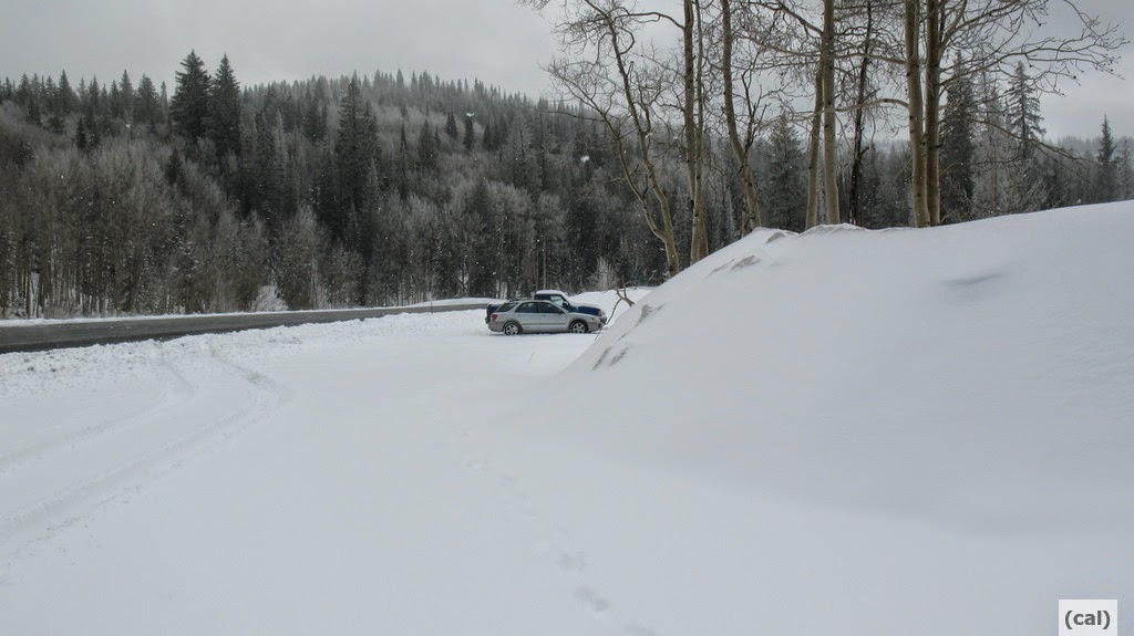
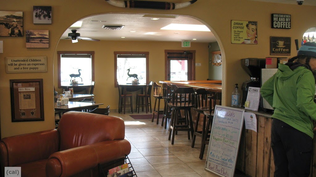
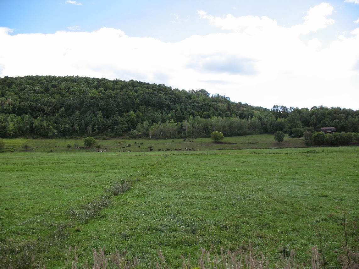
 Colorado, including Denver, has a reputation for being an epicenter for fracking, with many years of acceptance of the industry and the practice.  But I'm hearing that the flooding of Denver last year, including the dislodging of fracking equipment resulting in the spreading around of frack waste fluid shook residents out of their complacency. 
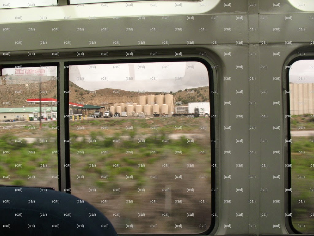
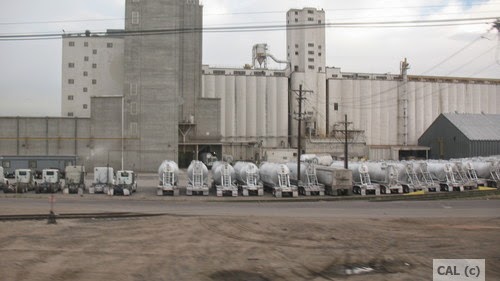
Colorado superstorm damaged fracking facilities  Yes, you see signs of fracking in many areas, including in downtown Denver, like those three-nippled frack trucks,which in this photo may more likely be filled with grain and in front of a grain processing facility, which may be what that row of silos is. On the front page of the May 23rd issue of the local paper was an article about possibly sending frack waste to sewage treatment plants. Even after years of fracking, it would appear they still have not figured out what to do with the waste in a responsible manner. More issues are also popping up, like communication with existing wells
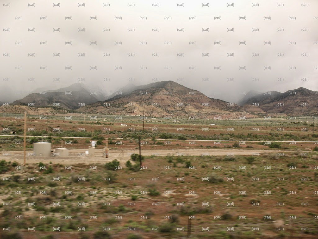
You also see wind turbines out on the plains
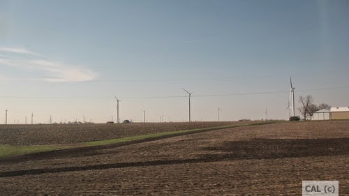
in Nebraska. along with sites showing forms of energy new to my understanding, different and local climate appropriate ways of cooling, etc. with many, many sections with solar arrays the closer you got to Grand Junction.
There's something called Evaporative Cooling which substitutes for air conditioning, thus saving loads on energy usage.  You see units on roofs which look like air conditioners but they're not.  They cover them with mustard hued fabric in winter then remove these covers in the summer.

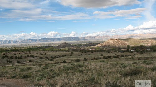
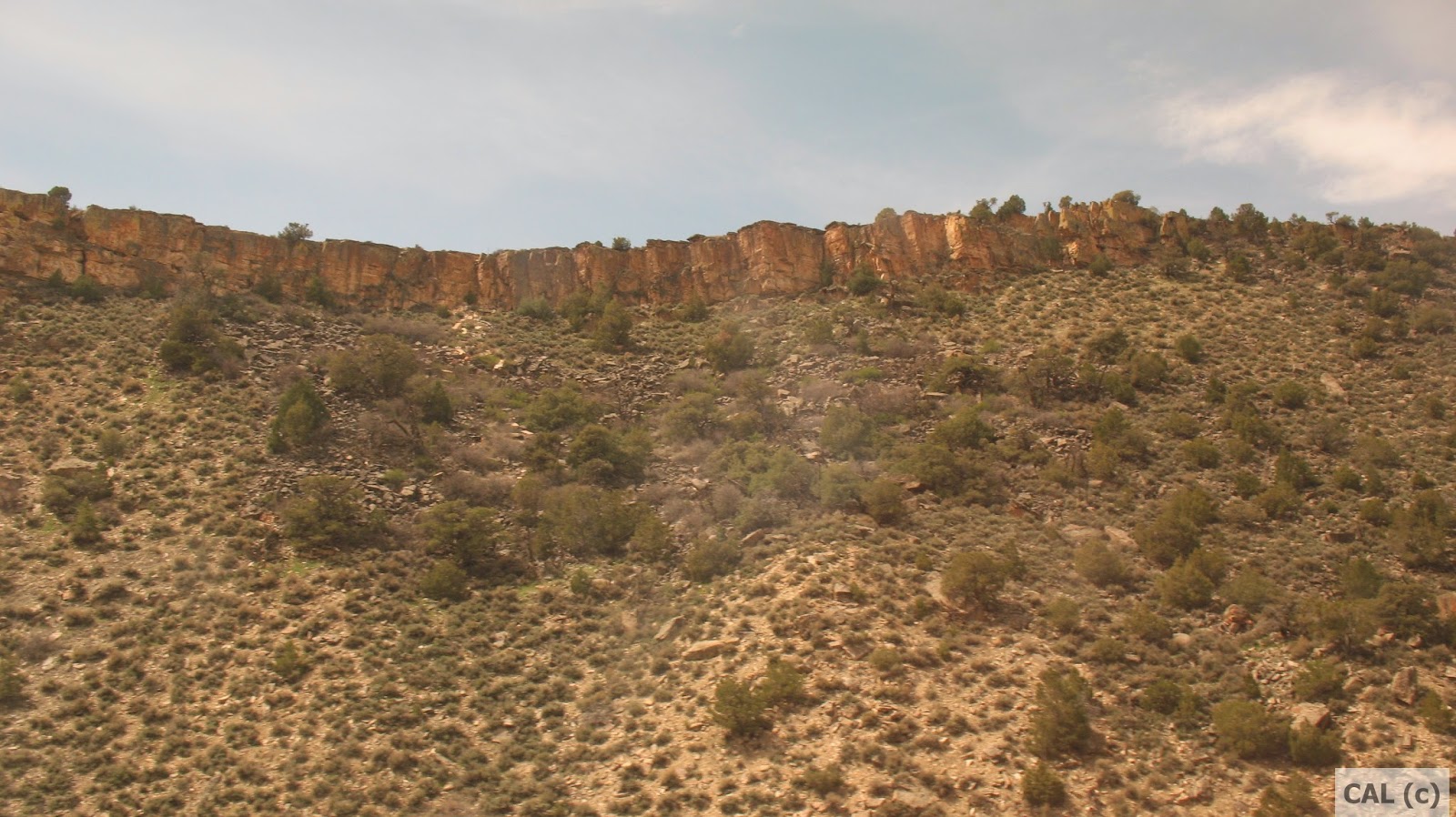
Grand Junction is an oasis in a desert, rimmed by the beyond impressive 33,000 plus acres of the Colorado National Monument, part of the National Park System, and edged with other conservation areas, along with private undeveloped lands. Colorado National Monument


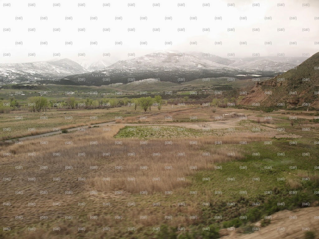
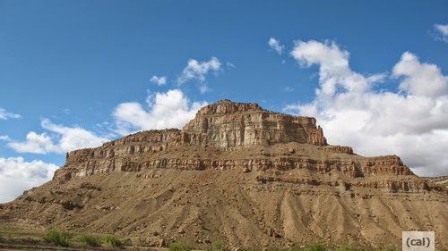
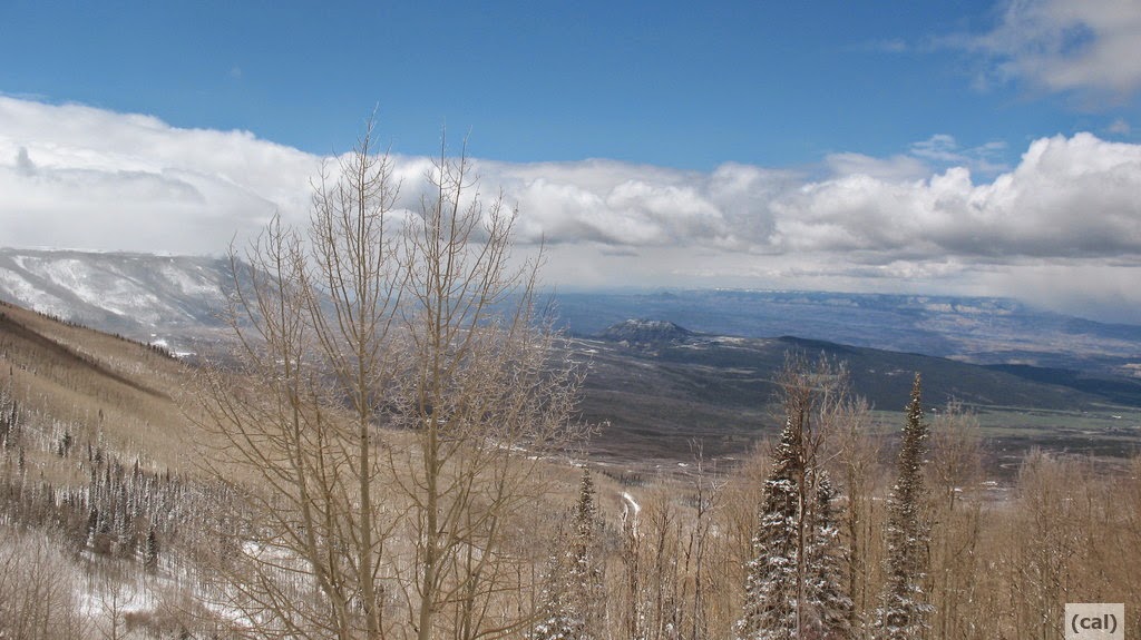
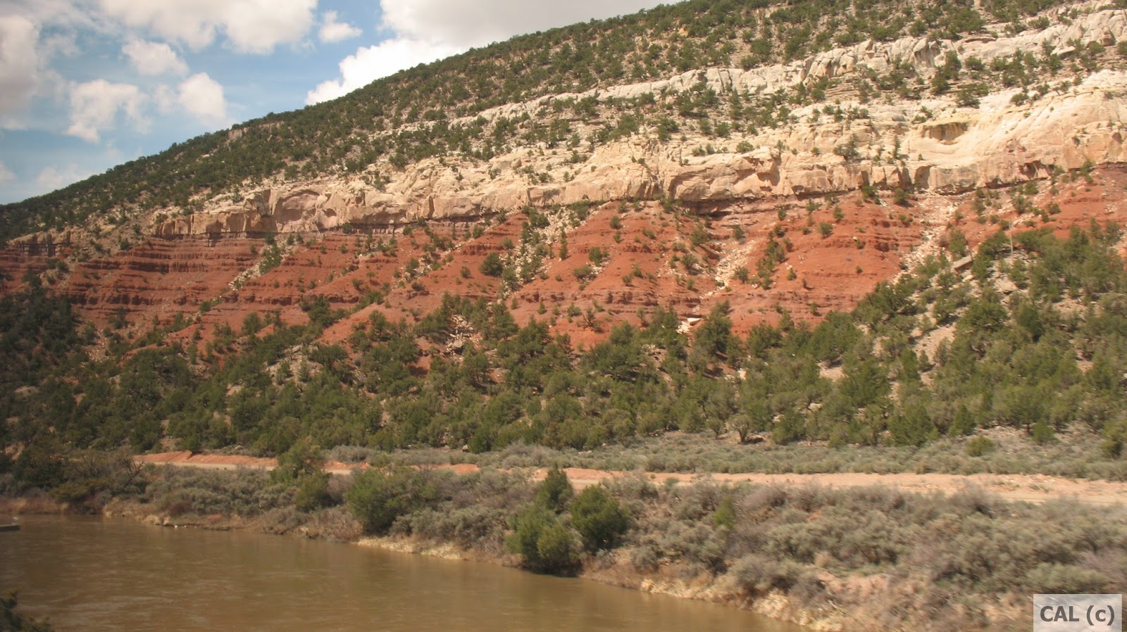
Way off in the distance, covered with snow is the Grand Mesa, the largest flat-topped mountain in the entire world. That snow, when it melts, is the source of water for the Colorado River, and for drinking water and watering lawns and food gardens for Grand Junction and agricultural areas of small famly farms, for example in Orchard Mesa, next to Grand Junction, which produce organic stone fruits like peaches, nectarines, cherries, and salad greens.  The snow melt is directed into canals which are shut in the winter and opened in the spring.  The water started running about two weeks before I got here.

The altitude in Grand Junction is 4597 feet. This can be a challenge to your body if you fly in from a place at a lower altitude like that of New York State with Vestal at 1010 feet, Ithaca at 446 feet, Syracuse at 380 feet, Corning at 932 feet, and especially Manhattan in NYC which ranges from 3.3 to 265 feet.  But the Grand Junction altitude is only about half of the altitude that research shows may trigger altitude sickness. How to prevent altitude sickness
And, interestingly, maybe understandably, if you're over 50 (my theory is that it's because you've been on the planet for a longer time), you are less susceptible to Altitude Sickness. 
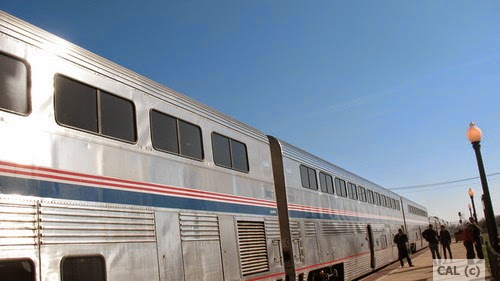
Best to take the AMTRAK in, like I did, rather than fly or drive. AMTRAK and sustainability
It's a more sustainable choice for long distance travel and better for your body. But AMTRAK still has many problems with lateness, cleanliness, organization of seating assignments, etc.
As a result of taking the train, in spite of not springing for the expense of a sleeping car as seen in the three train cars in the photo above, but "sleeping" two nights in a seat, my body suffered no discernible ill effects from the drastic change in altitude, i.e. Altitude Sickness.  No racing heart, no lightheaded-ness, or the like.
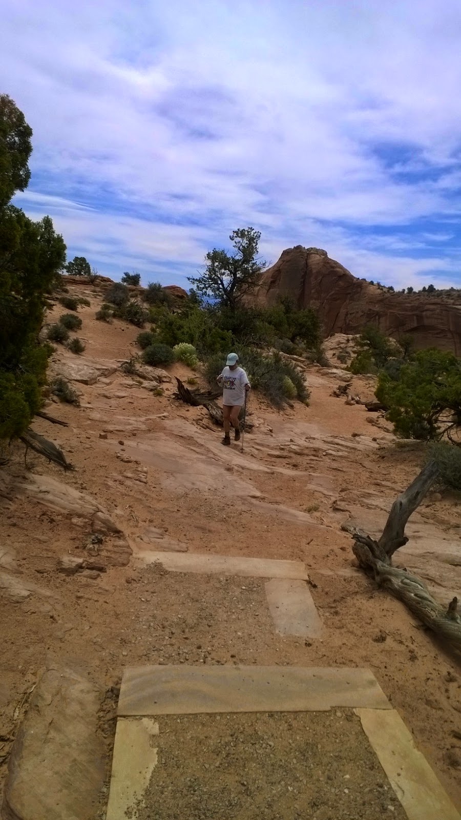
My sister checked my pulse the afternoon of my arrival on a Saturday afternoon, as we set out on a short hike in the nearest conservation area  and again the day after, as we took on a more challenging hike in the actual Colorado National Monument.  It also helps if you are already in pretty good shape.

The Colorado National Monument has to be on the list of places you must see before you die. Along with the other parks and preservation areas in the location. Colorado Parks . No cathedral that any human could build could come even a fingernail's bit of closeness to the magnificence and stunning impact of this area.
I choked up with tear filled eyes on looking out at the magnificence of the vast expanse and intensity and variety of hues, when we stopped at one spot about half way up a main road up the Colorado National Monument.
A major issue, though, is the contrast of the huge beauty of the natural environment as compared with the choking stink of the auto traffic at the local mall and down the main 12th Street  main drag. As beautiful as the area is naturally, Colorado has a kind of backwardness that's a danger to the natural environment.  There appears to be little or no regulation of auto emissions or sounds. Nor any bottle or can deposit which seems to be a California and northeast U.S. activity solely.
You can see black smoke coming out of tail pipes, smell the oily stink of and hear the rumbling of the numerous ill-kept diesel powered  pickup trucks, which half the population seems to drive. The other half of the population seems to be seniors as Grand Junction and maybe other cities in Colorado is clearly a retirement mecca.  There's several apartment complexes like the one in which my sister lives halfway between downtown Grand Junction a mile or so from the Colorado River and the airport at the other end, close to the base of the Bookcliffs mountain range. You can walk from that downtown end of the city and out to the airport in two hours. Crossways the city is wider.

.

Friday, April 4, 2014

Englebert Farm in Nichols, NY

Some pics taken before the last flood (the fall 2011 one) which devastated their farm.
 Water troughs by the road
 The fields with the cows way back - you can see it's a similar set up to McRey Farm with fields in front and a forest of trees up on a ridge.
 The barn