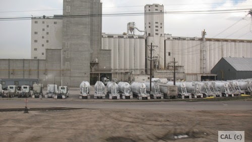
 You also see wind turbines out on the plains
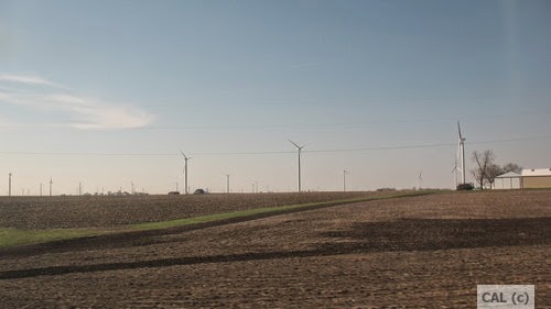 in Nebraska. along with sites showing forms of energy new to my understanding, different and local climate appropriate ways of cooling, etc. with many, many sections with solar arrays the closer you got to Grand Junction.
There's something called Evaporative Cooling which substitutes for air conditioning, thus saving loads on energy usage. You see units on roofs which look like air conditioners but they're not. They cover them with mustard hued fabric in winter then remove these covers in the summer.
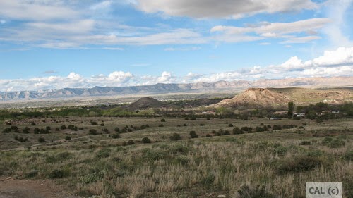
Grand Junction is an oasis in a desert, rimmed by the beyond impressive 33,000 plus acres of the Colorado National Monument, part of the National Park System, and edged with other conservation areas, along with private undeveloped lands. Colorado National Monument
Way off in the distance, covered with snow is the Grand Mesa, the largest flat-topped mountain in the entire world. That snow, when it melts, is the source of water for the Colorado River, and for drinking water and watering lawns and food gardens for Grand Junction and agricultural areas of small famly farms, for example in Orchard Mesa, next to Grand Junction, which produce organic stone fruits like peaches, nectarines, cherries, and salad greens. The snow melt is directed into canals which are shut in the winter and opened in the spring. The water started running about two weeks before I got here.
The altitude in Grand Junction is 4597 feet. This can be a challenge to your body if you fly in from a place at a lower altitude like that of New York State with Vestal at 1010 feet, Ithaca at 446 feet, Syracuse at 380 feet, Corning at 932 feet, and especially Manhattan in NYC which ranges from 3.3 to 265 feet. But the Grand Junction altitude is only about half of the altitude that research shows may trigger altitude sickness. How to prevent altitude sickness
And, interestingly, maybe understandably, if you're over 50 (my theory is that it's because you've been on the planet for a longer time), you are less susceptible to Altitude Sickness.
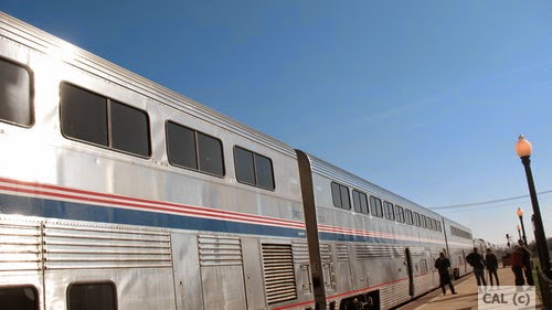
Best to take the AMTRAK in, like I did, rather than fly or drive. AMTRAK and sustainability
It's a more sustainable choice for long distance travel and better for your body. But AMTRAK still has many problems with lateness, cleanliness, organization of seating assignments, etc.
As a result of taking the train, in spite of not springing for the expense of a sleeping car as seen in the three train cars in the photo above, but "sleeping" two nights in a seat, my body suffered no discernible ill effects from the drastic change in altitude, i.e. Altitude Sickness. No racing heart, no lightheaded-ness, or the like.
My sister checked my pulse the afternoon of my arrival on a Saturday afternoon, as we set out on a short hike in the nearest conservation area and again the day after, as we took on a more challenging hike in the actual Colorado National Monument. It also helps if you are already in pretty good shape.
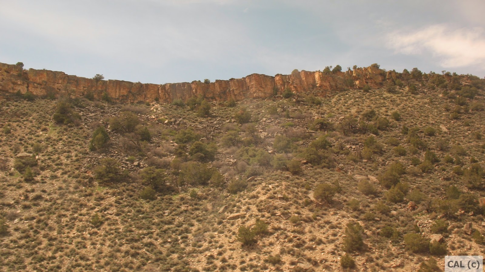
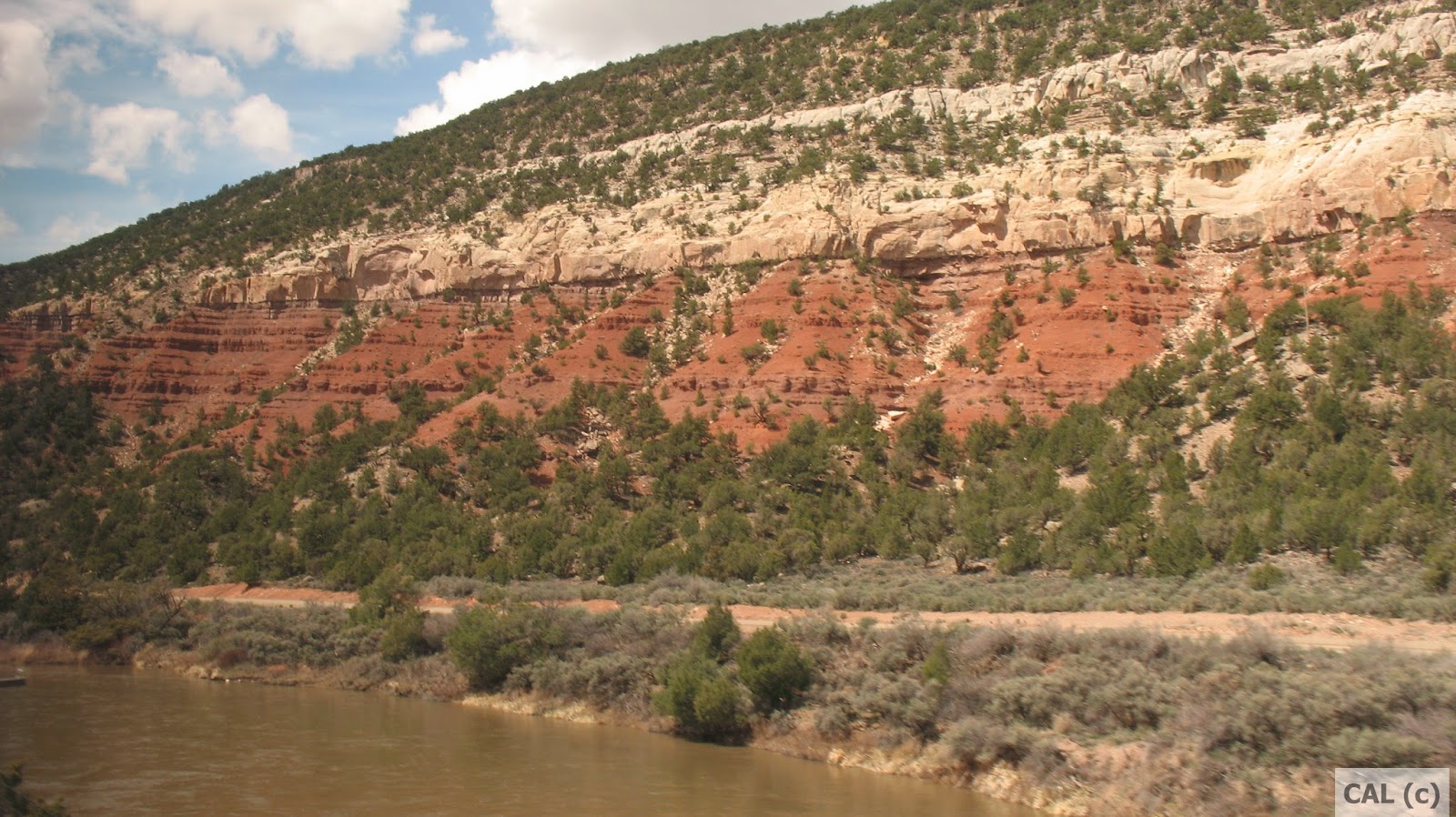
The Colorado National Monument has to be on the list of places you must see before you die. Along with the other parks and preservation areas in the location. Colorado Parks . No cathedral that any human could build could come even a fingernail's bit of closeness to the magnificence and stunning impact of this area.
I choked up with tear filled eyes on looking out at the magnificence of the vast expanse and intensity and variety of hues, when we stopped at one spot about half way up a main road up the Colorado National Monument.
A major issue, though, is the contrast of the huge beauty of the natural environment as compared with the choking stink of the auto traffic at the local mall and down the main 12th Street main drag. As beautiful as the area is naturally, Colorado has a kind of backwardness that's a danger to the natural environment. There appears to be little or no regulation of auto emissions or sounds. Nor any bottle or can deposit which seems to be a California and northeast U.S. activity solely.
You can see black smoke coming out of tail pipes, smell the oily stink of and hear the rumbling of the numerous ill-kept diesel powered pickup trucks, which half the population seems to drive. The other half of the population seems to be seniors as Grand Junction and maybe other cities in Colorado is clearly a retirement mecca. There's several apartment complexes like the one in which my sister lives halfway between downtown Grand Junction a mile or so from the Colorado River and the airport at the other end, close to the base of the Bookcliffs mountain range. You can walk from that downtown end of the city and out to the airport in two hours. Crossways the city is wider.
.
